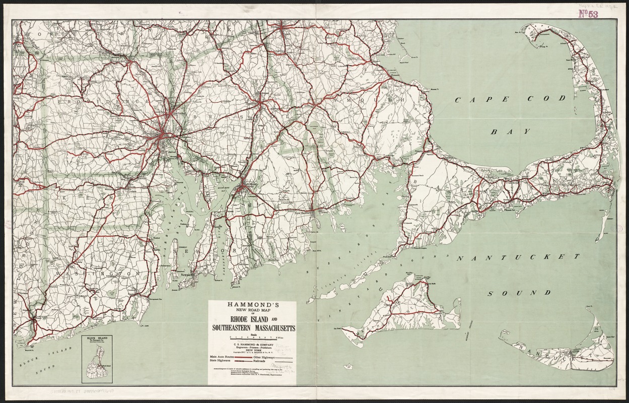
Hammond's new road map of Rhode Island and southeastern Massachusetts
Item Information
- Title:
- Hammond's new road map of Rhode Island and southeastern Massachusetts
- Title (alt.):
-
New road map of Rhode Island and southeastern Massachusetts
- Creator:
- C.S. Hammond & Company
- Date:
-
1917
- Format:
-
Maps/Atlases
- Location:
-
Boston Public Library
Norman B. Leventhal Map Center - Collection (local):
-
Norman B. Leventhal Map Center Collection
- Subjects:
-
Roads--Massachusetts--Maps
Roads--Rhode Island--Maps
Massachusetts--Maps
Rhode Island--Maps
- Places:
-
Massachusetts
Rhode Island
- Extent:
- 1 map : col. ; 64 x 105 cm.
- Terms of Use:
-
No known copyright restrictions.
No known restrictions on use.
- Publisher:
-
New York :
C.S. Hammond & Co.
- Scale:
-
Scale 1:158,400.
- Language:
-
English
- Notes:
-
Includes inset of Block Island.
- Identifier:
-
06_01_003119
- Call #:
-
G3771.P2 1917 .C7
- Barcode:
-
39999058998640


