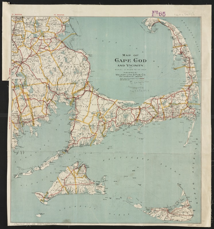
Map of Cape Cod and vicinity
Item Information
- Title:
- Map of Cape Cod and vicinity
- Cover title :
- Latest map of Cape Cod and vicinity
- Creator:
- Walker Lith. & Pub. Co
- Date:
-
1917
- Format:
-
Maps/Atlases
- Location:
-
Boston Public Library
Norman B. Leventhal Map Center - Collection (local):
-
Norman B. Leventhal Map Center Collection
- Subjects:
-
Roads--Massachusetts--Cape Cod--Maps
Cape Cod (Mass.)--Maps
- Places:
-
Barnstable (county)Cape Cod (area)
- Extent:
- 1 map : col. ; 52 x 37 cm.
- Terms of Use:
-
No known copyright restrictions.
No known restrictions on use.
- Publisher:
-
Boston, Mass :
Walker Lith. & Pub. Co.
- Scale:
-
Scale [ca. 1:190,000]. 3 miles to an inch.
- Language:
-
English
- Notes:
-
Shows major roads in red.
- Identifier:
-
06_01_003117
- Call #:
-
G3762.C35 1917 .W3
- Barcode:
-
39999058998624


