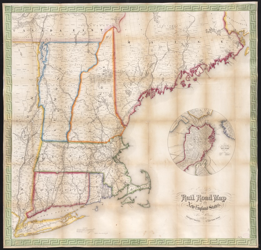
Telegraph and rail road map of the New England states
Item Information
- Title:
- Telegraph and rail road map of the New England states
- Cover title :
- Williams' telegraph and rail road map of the New England states
- Creator:
- Williams, Alexander.
- Name on Item:
-
by Alex. Williams.
- Date:
-
1854
- Format:
-
Maps/Atlases
- Location:
-
Boston Public Library
Norman B. Leventhal Map Center - Collection (local):
-
Norman B. Leventhal Map Center Collection
- Subjects:
-
Railroads--New England--Maps
Telegraph lines--New England--Maps
New England--Maps
Boston (Mass.)--Maps
- Places:
-
Suffolk (county)Boston
New England (area)
- Extent:
- 1 map : col. ; 74 x 78 cm.
- Terms of Use:
-
No known copyright restrictions.
No known restrictions on use.
- Publisher:
-
Boston, Mass :
Redding & Co.
- Scale:
-
Scale ca. 1:775,000.
- Language:
-
English
- Notes:
-
Description derived from published bibliography.
Inset: Map of Boston showing the entrance of the Rail Roads. Circle, diameter 22 cm.
- Identifier:
-
06_01_003042
- Call #:
-
G3721.P3 1854 .W5
- Barcode:
-
39999058997345
- LCCN:
-
98688383


