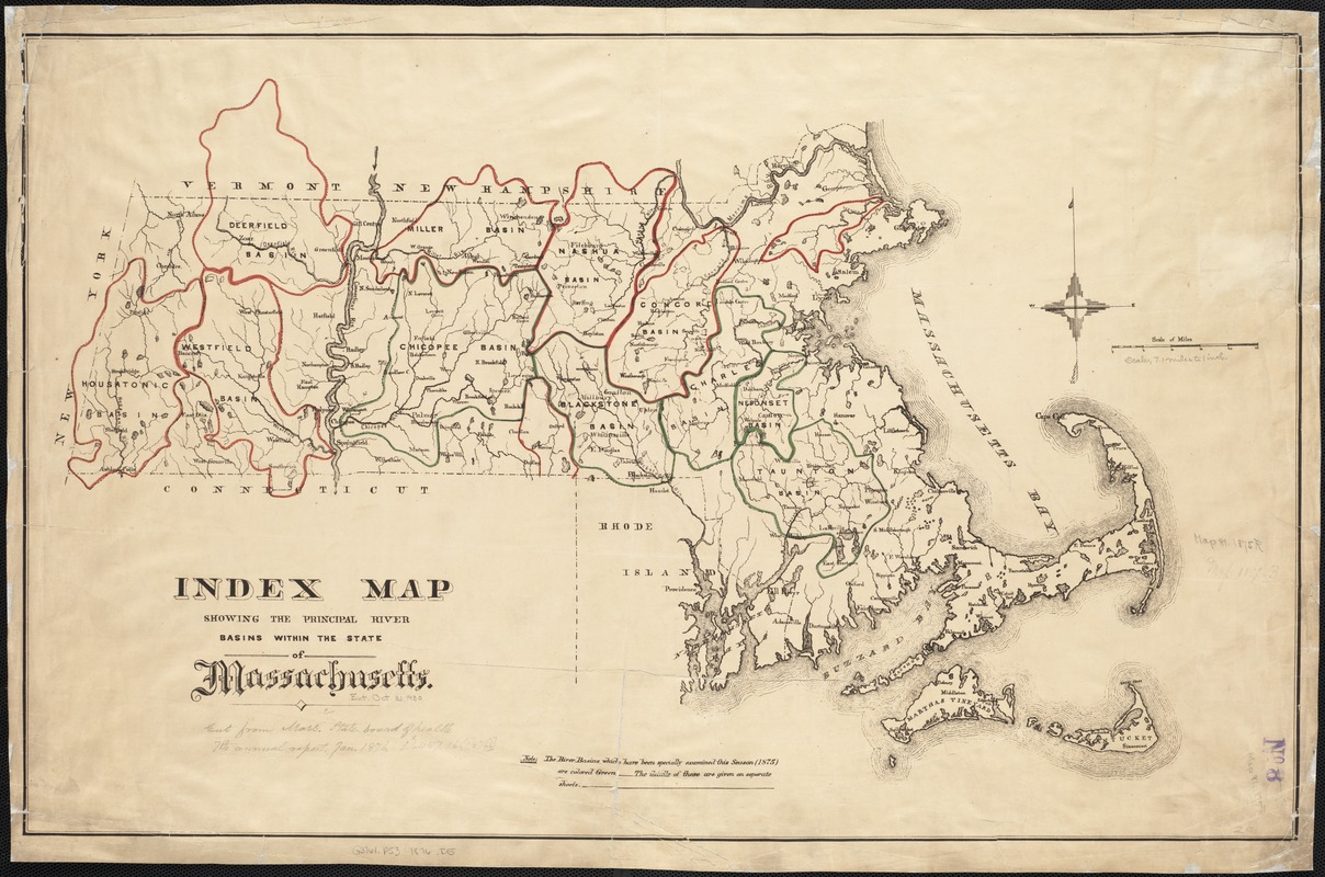
Index map showing the principal river basins within the state of Massachusetts
Item Information
- Title:
- Index map showing the principal river basins within the state of Massachusetts
- Date:
-
[1876]
- Format:
-
Maps/Atlases
- Location:
-
Boston Public Library
Norman B. Leventhal Map Center - Collection (local):
-
Norman B. Leventhal Map Center Collection
- Subjects:
-
Watersheds--Massachusetts--Maps
Massachusetts--Maps
- Places:
-
Massachusetts
- Extent:
- 1 map : col. ; 47 x 73 cm.
- Terms of Use:
-
No known copyright restrictions.
No known restrictions on use.
- Publisher:
-
Boston :
State Board of Health of Massachusetts
- Scale:
-
Scale [ca. 1:444,000]
- Language:
-
English
- Notes (date):
-
This date is inferred.
- Identifier:
-
06_01_002599
- Call #:
-
G3761.P53 1876 .I5
- Barcode:
-
39999058995984


