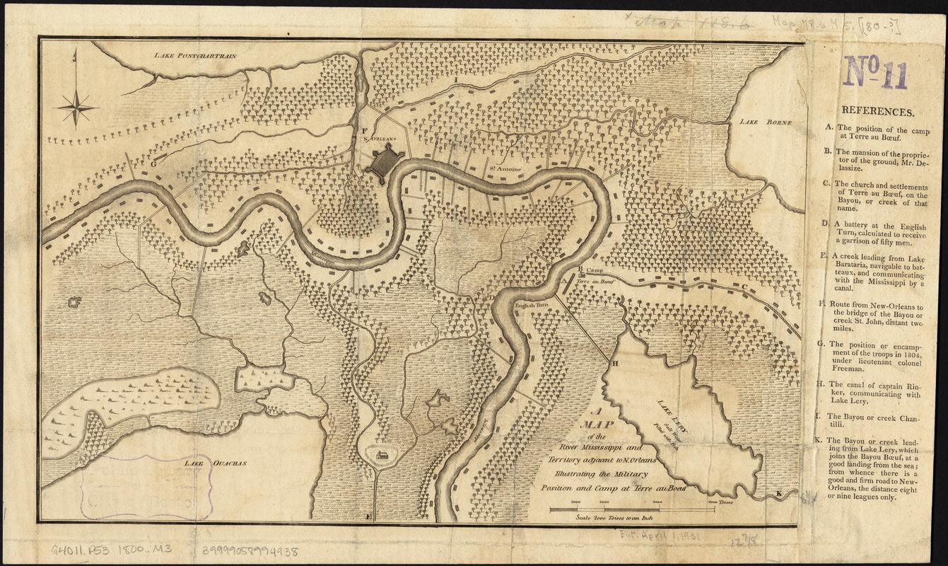
A map of the River Mississippi and territory adjacent to N. Orleans illustrating the military position and camp at Terre au Boeuf
This map is also available in American Revolutionary Geographies Online (ARGO), a collections portal especially built for material relating to the American Revolutionary War Era. Visit ARGO to learn more about this item and explore the historical geography of North America in the late eighteenth century.
Item Information
- Title:
- A map of the River Mississippi and territory adjacent to N. Orleans illustrating the military position and camp at Terre au Boeuf
- Date:
-
[1800?–1809?]
- Format:
-
Maps/Atlases
- Location:
-
Boston Public Library
Norman B. Leventhal Map Center - Collection (local):
-
Norman B. Leventhal Map Center Collection
- Subjects:
-
Mississippi River--Maps
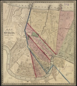
New Orleans (La.)--Maps
- Places:
-
Mississippi River
Orleans (county)New Orleans
- Extent:
- 1 map ; 21 x 33 cm.
- Terms of Use:
-
No known copyright restrictions.
No known restrictions on use.
- Publisher:
-
S.l :
s.n.
- Scale:
-
Scale not given.
- Language:
-
English
- Notes:
-
Relief shown pictorially.
Includes index to points of interest.
- Identifier:
-
06_01_002454
- Call #:
-
G4011.P53 1800 .M3
- Barcode:
-
39999058994938