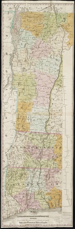
Map exhibiting the Farmington & Hampshire & Hampden canals : together with the line of their proposed continuation through the Valley of the Connecticut River to Canada
Item Information
- Title:
- Map exhibiting the Farmington & Hampshire & Hampden canals : together with the line of their proposed continuation through the Valley of the Connecticut River to Canada
- Pamphlet title :
- Map exhibiting the Farmington and Hampshire and Hampden canals
- Title (alt.) :
- Farmington and Hampshire & Hampden canals &c
- Creator:
- Jocelyn, Nathaniel, 1796-1881
- Name on Item:
-
engraved and published by N. & S.S. Jocelyn.
- Date:
-
1828
- Format:
-
Maps/Atlases
- Location:
-
Boston Public Library
Norman B. Leventhal Map Center - Collection (local):
-
Norman B. Leventhal Map Center Collection
- Subjects:
-
Canals--Connecticut--Maps
Connecticut River--Maps
New Haven and Northampton Canal (Conn. and Mass.)--Maps
- Places:
-
Connecticut (river)
Hartford (county)New Haven And Northampton Canal
- Extent:
- 1 map ; 120 x 39 cm.
- Terms of Use:
-
No known copyright restrictions.
No known restrictions on use.
- Publisher:
-
New Haven, Conn :
N. & S.S. Jocelyn
- Scale:
-
Scale ca. 1:389,908.
- Language:
-
English
- Notes:
-
Relief shown by hachures.
Inset: Profile of the canals; scale 1:1760.
- Identifier:
-
06_01_002386
- Call #:
-
G3722.C62 1828 .J6
- Barcode:
-
39999058994326
39999058994334


